
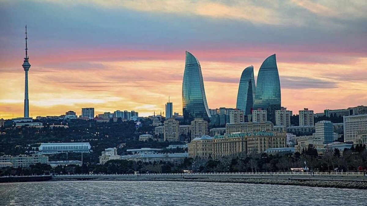
An information system “Digital Coastal Management” based on Geographic Information Systems (GIS) will be created in Azerbaijan, storing up-to-date maps and information on land, buildings, infrastructure, and other objects in coastal areas.
elchi reports this, citing the State Service for Property Issues.
The head of state signed a relevant Decree to organize the coordinated activities of state bodies involved in management and control in the coastal areas of the Caspian Sea to ensure sustainable development and ecological stability, increase efficiency and flexibility in this area, apply digital management models, effectively manage land in these areas, and improve state control mechanisms for their use and protection. The scope of the document does not include islands, inhabited and to-be-inhabited areas, areas used for industrial, energy, port, defense, and border protection purposes, as well as other areas with special status defined by regulatory legal acts.
In recent years, the increase in urbanization processes in the coastal areas of the Caspian Sea, the deterioration of the ecological situation due to anthropogenic impacts, as well as the receding of the Caspian Sea have made it necessary to organize state management and land-use planning issues in this area in a more flexible and coordinated manner, in line with modern challenges. Based on the Decree of the President of the Republic of Azerbaijan dated November 16, 2026, proposals have been requested for the determination of the special legal status, zoning, and legal regime of the coastal area of the Caspian Sea belonging to the Republic of Azerbaijan.
According to the Decree, the functions of coordinating the activities of state bodies involved in management and control in coastal areas, as well as implementing a unified state policy in the field of land use and protection, have been entrusted to the State Service for Property Issues under the Ministry of Economy.
The main goal of the new approach is to increase the efficiency of land management, organize the activities of state bodies involved in this field in a coordinated manner, strengthen protection and control measures to protect coastal areas, and improve monitoring and accountability in this area.
Among the innovations reflected in the Decree is the creation of the “Digital Coastal Management” information system, which stores up-to-date maps and information based on Geographic Information Systems (GIS) reflecting land, buildings, infrastructure, and other objects in coastal areas.
This system, which is planned to be integrated with other state information systems, will enable the organization of necessary administrative procedures related to coordinated activities, as well as the organization of services to the public through a digital platform.
It is planned to organize services to the public, including entrepreneurs, on the principle of “one window,” which will ensure the more flexible and remote resolution of land use issues and the simplification of administrative procedures.
A unified approach is planned to be applied in determining the legal status of coastal areas, zoning, environmental protection, development of economic activity areas, and expansion of tourism and recreation opportunities, taking into account international experience.
At the same time, instructions have been given to improve legislation in the field of land use and protection. The development of legal mechanisms to prevent illegal use and seizure in this area is also envisaged. The measures to be taken will contribute to the sustainable development of coastal areas, the preservation of ecological balance, and the increase of transparency and efficiency.